The Ministry of Transport and Sustainable Mobility has approved the document defining the service area of the Port of Seville, eight years after the start of the process.
The DEUP establishes that 59.95% of the total surface area of the port is allocated to port uses, while 5.4% is designated for port-city interaction.
The Delimitation of Port Spaces and Uses (DEUP) of the Port of Seville has been approved by Ministerial Order and published in the Official State Gazette (BOE). This document, which defines the different service areas of the port and the estuary, covers a total surface area of 11,408,805 m², of which 59.95% is dedicated to port uses—commercial, nautical-sport, and complementary—while 5.4% corresponds to port-city interaction. The remaining 34.65% is reserved for future developments of this key infrastructure for the region’s economic progress.
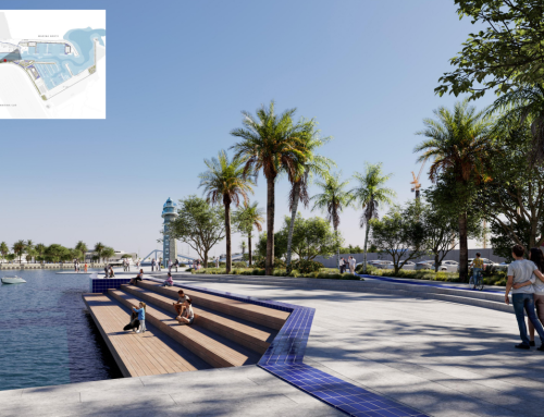
Regarding urban integration, the DEUP allocates more than 100,000 m² on the Tablada Wharf to port-city uses, as well as 85,740 m² in the new area known as Mirador de Batán, where the Teatro del Puente and the Parque del Puerto will be located. These areas are part of the Port Urban District, and their new planning will gradually relocate cargo handling and storage activities further south, paving the way for developments more compatible with their proximity to the city.
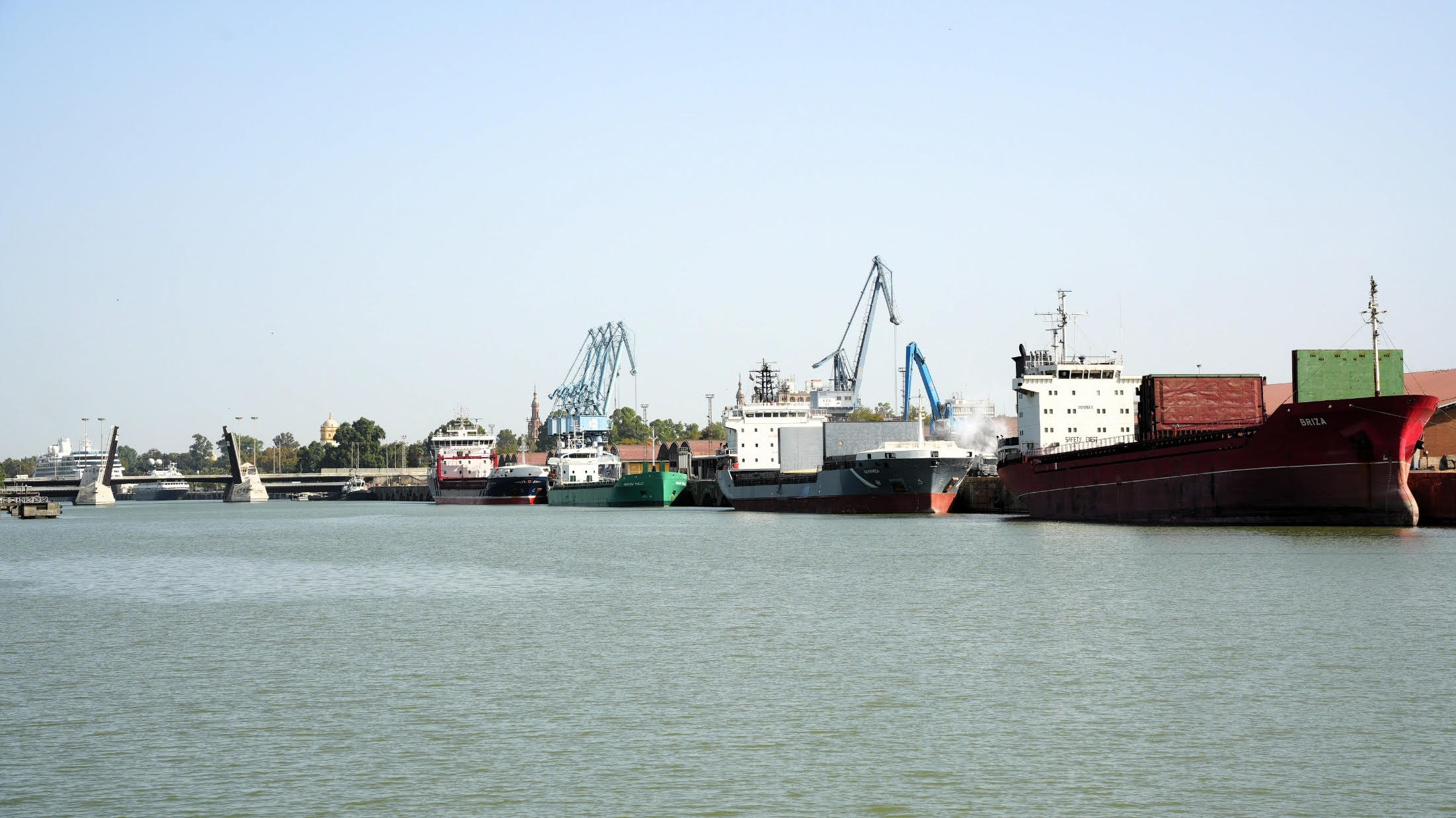
As for port uses, these are concentrated in the Batán Dock, which houses the rail terminal and the container terminal; the Logistics Activities Zone (ZAL); the Cuarto Dock, which includes several maritime terminals and warehouses for goods storage; the Shipyard Industrial Estate, the Free Trade Zone, and Punta del Verde, industrial areas within the port; and the area surrounding the “Puerta del Mar” lock.
Among the new elements included in the DEUP, the document adds the anchorage area known as El Pozo, located at the river mouth, to the port’s water zone. This area is essential for operations, as it allows ships to anchor at the port entrance, thereby improving accessibility conditions.
The Ministerial Order also removes three plots from the public port domain. Two are located within the municipality of Seville—one along the Guadalquivir riverbank and another corresponding to the roads Avenida Carlos III and Ronda de los Tejares, where the port railway used to run in the past century. The third plot is located in Sanlúcar de Barrameda, where the San Jerónimo Lighthouse facilities are situated.
In general, the land service area of the Port of Seville is mainly concentrated around the dock, while the water areas cover the inner water surface between the lock and the San Jerónimo dam, and, outside the dock, the stretch between the river mouth and the Alcalá del Río dam.
This is the first Delimitation of Port Spaces and Uses of the Port of Seville. The process began in 2017 with an initial public information phase and now concludes, eight years later, with approval by the Ministry of Transport and Sustainable Mobility.
The DEUP of the Port of Seville can be consulted on the Transparency Portal of the Port Authority of Seville:
🔗 https://transparencia.puertodesevilla.com/institucional/relevancia-juridica/normativa-y-legislacion-portuaria/delimitacion-de-espacios-y-usos-portuarios-del-puerto-de-sevilla
This document has been drafted and approved in accordance with Article 69 of Royal Legislative Decree 2/2011, of 5 September, which approves the Recast Text of the State Ports and Merchant Marine Act.